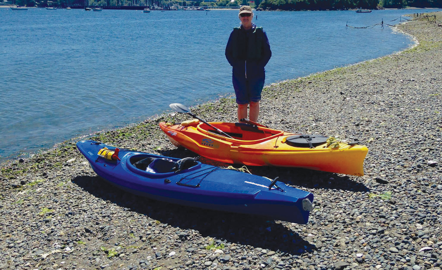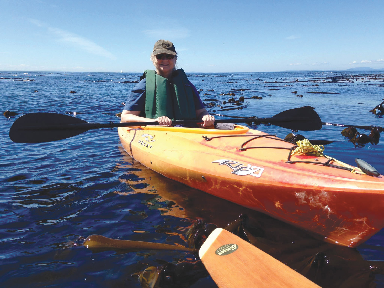
Assembled from experience, public agency listings and with reference to Randel Washburne’s excellent “Kayaking Puget Sound, The San Juans and Gulf Islands” this guide presumes you will exercise good judgement about equipment and your own skills to decide whether to go alone or with a skilled friend or paid guide.
This listing is intended to be helpful in thinking about where to go, but you should practice skills and do a great deal more research before undertaking any salt water voyage, as tides, local currents, other boats, weather, wildlife, seismic activity, bad judgment and bad luck can all make a kayak a lethally dangerous item in the hands of any human.
Circumnavigate Indian Island
Paddlers love the round-island trip for views of odd sandstone formations, occasional seals and whales, Navy ships and long stretches of undeveloped shoreline. Much of that shoreline is off-limits Navy property, but there are public beaches where kayakers can step ashore and stretch.
There was a time when the swift-water sluice through the culvert under Indian Island Causeway was a bug of the round-island trip to some people, a feature to those who felt confident of staying upright. With the causeway being replaced (summer of 2019) by a bridge, paddlers wait to see what, if any, water features will be created.
HOW LONG: Part day or full day, with paddling distance up to 11 miles.
DIFFICULTY: Moderate (fast waters and possible tide rips) or Protected, depending on the route you choose.
THINKING AHEAD: Timing your launch to high tide will dramatically reduce the carrying distance at the Marrowstone Island-Indian Island causeway from 300 yards of tide flats to a short two-kayak-length scramble from water’s edge.
PUT-INS: From Port Hadlock, follow signs to Indian Island County Park, approximately three-quarters of a mile beyond the Indian Island causeway. Sand and gravel beaches extend quite a distance at low time.The preferable spot for circumnavigations that start at high tide is the causeway.
A turnoff about 0.2 mile before the causeway has off-highway parking and a short path giving access to the Kilisut Harbor tide flats, where northward paddlers can splash in and gain access to the beach on Oak Bay.
Launching from Nordland on Marrowstone Island, use the Mystery Bay Recreation Area, with access to sand and gravel beaches.
To launch from Fort Flagler State Park, use the boat launch at Kilisut Harbor.Explore Mats Mats Bay
A quiet little bay north of Port Ludlow, Mats Mats is a good place to learn paddle skills while admiring the views of pastoral shoreline and graceful yachts moored and docked in the bay. The narrow tree-lined entrance leads out to offshore rocks (about a half-mile away) that attract divers and snorkelers. This less-than-full-day can be stretched if you add Port Ludlow to your itinerary, which increases the distance to 3 miles each way. On mild days, paddle out to Klas and Colvos Rocks. Colvos, the largest, is a difficult place to get out of your kayak since it is steep and slick.
HOW LONG: Part day, just two miles if you follow the shore and loop back to the put-in.
DIFFICULTY: Protected.
TO THE PUT-IN:
From state Route 104, turn north on Paradise Bay Road just west of the Hood Canal Bridge. Passing Port Ludlow in 6 miles, look for Oak Bay Road. Turn right and proceed two miles to Vemer Road. The launch ramp for Mats Mats Bay is a half-mile down Vemer Road.
QUILCENE AND DABOB BAYS
This is the kind of place that inspired longtime Seattle Post-Intelligencer columnist Carlton Fitchett to break out in poetry in the 1940s when the Olympic Peninsula was part of his ambit. Dabob is the main bay off Hood Canal, with Quilcene Bay a smaller thumb on the west side of The Coyle.
In this quiet corner, the Olympic Mountains are the backdrop and a forested shoreline shades beaches rich with oysters and clams.
Most tidelands you’ll paddle past are private, but you can stop at Point Whitney on the west shore of Quilcene Bay, where the public is allowed to shell and eat oysters on the public beach in-season.
HOW LONG: Part day to full day.
DIFFICULTY: Protected when paddling along the shoreline, Moderate if you decide to cross 1.5 to 3 miles of open water in the heart of
the Bays.
THINKING AHEAD: Paddling is best at high tide, oystering is better at low tide.
TO THE PUT-IN:
Launch from either the east or west shore of Hood Canal, depending on which is most convenient.
On the west side, at least four alternatives are off Highway 101 between Quilcene and Pleasant Harbor. For exploring upper Quilcene Bay, launch at Quilcene Haven boat ramp. For the lower bay, launch at Point Whitney. The gravel beach here is usually fine for launching, though strong northerly winds can build a nasty shore break. Public restrooms are nearby.
On the east shore, use Scenic Beach State Park near Seabeck.